CHARTPLOTTERS & FISHFINDERS
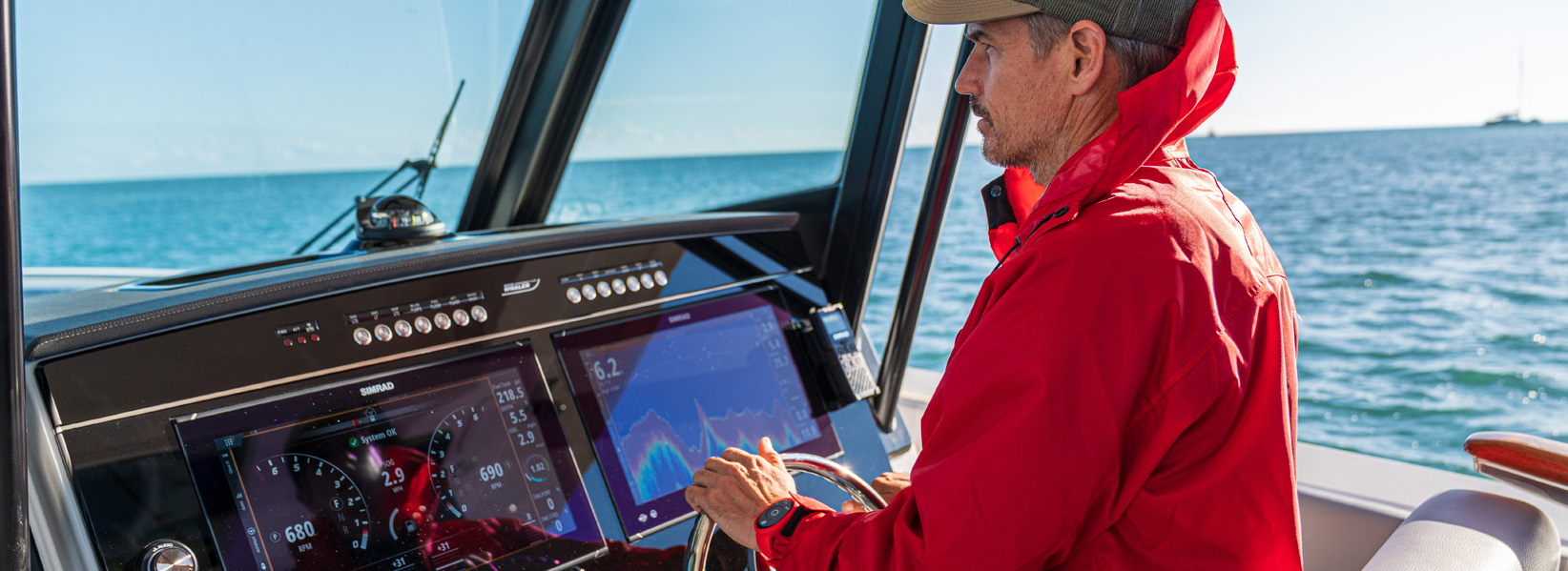
Take your fishing to the next level with advanced sonar tech. Monitor and control your engines from the helm. Or turn your boat into an entertainment center with full control over everything from music to lighting.
CHARTPLOTTERS & FISHFINDERS
Take your fishing to the next level with advanced sonar tech. Monitor and control your engines from the helm. Or turn your boat into an entertainment center with full control over everything from music to lighting.


Explore the Simrad® range...
As you move through the Simrad® chartplotter range, you get different options for connectivity, processing power, and screen sizes.
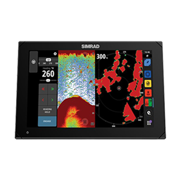 NSX and NSX ULTRAWIDE NSX and NSX ULTRAWIDE |
|
Sunlight viewable display
|
||||
| Sunlight viewable display | ||||
|---|---|---|---|---|
|
Multi-touch screen
|
||||
| Multi-touch screen | ||||
|
Keypad for use in extreme conditions
|
||||
| Keypad for use in extreme conditions | OP50 required | OP50 required | ||
|
High-performance processor
|
||||
| High-performance processor | ||||
|
SolarMAX™ IPS Display Technology
|
||||
| SolarMAX™ IPS Display Technology | IPS like | |||
|
Waterproof
|
||||
| Waterproof | IPX7 rating |
IPX7 rating |
IPX7 rating |
IPX7 rating |
|
Bracket or flush-fit mounting options
|
||||
| Bracket or flush-fit mounting options | Flush only | |||
|
Built-in WIFI
|
||||
| Built-in WIFI | ||||
|
Simrad Companion App Compatible
|
||||
| Simrad Companion App Compatible | ||||
|
|
||||
|
Choice of mapping options
|
||||
| Choice of mapping options | ||||
|
Autorouting Technology
|
||||
| Autorouting Technology | ||||
|
NMEA 2000®
|
||||
| NMEA 2000® | ||||
|
Autopilot capable
|
||||
| Autopilot capable | ||||
|
Radar capable
|
||||
| Radar capable | ||||
|
Audio Control Integration
|
||||
| Audio Control Integration | ||||
|
WM-4 SiriusXM® Weather/Audio Compatible
|
||||
| WM-4 SiriusXM® Weather/Audio Compatible | ||||
|
Engine Data Connectivity
|
||||
| Engine Data Connectivity | ||||
|
FLIR IP Camera compatibility
|
||||
| FLIR IP Camera compatibility | ||||
|
|
||||
|
Built-in CHIRP echosounder
|
||||
| Built-in CHIRP echosounder | S3100H or S5100 Required* | |||
|
Built-in Active Imaging™, StructureScan® and DownScan
|
||||
| Built-in Active Imaging™, StructureScan® and DownScan | ||||
|
ForwardScan® Support
|
||||
| ForwardScan® Support | ||||
|
Networking capabilities - Such as Chart Sharing, Waypoint and Route Sharing and Sonar
|
||||
| Networking capabilities - Such as Chart Sharing, Waypoint and Route Sharing and Sonar | Chart and sonar sharing: Between NSS 4 and NSX, NSS 4 to NSS 4, and NSX to NSX. |
Chart and sonar sharing: Between NSS 4 and NSX, NSS 4 to NSS 4, and NSX to NSX. |
||
|
Dual echosounder ports
|
||||
| Dual echosounder ports | S3100H or S5100 Required* | |||
|
3D sonar capable
|
||||
| 3D sonar capable | SS3D Required* | SS3D Required* | ||
|
Dual CHIRP transducer capable
|
||||
| Dual CHIRP transducer capable | S3100H or S5100 Required* | |||
|
*Accessory sold separately **Further functionalities being developed
|
||||
| *Accessory sold separately **Further functionalities being developed | ||||
Understanding Charting
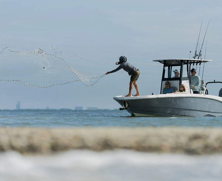
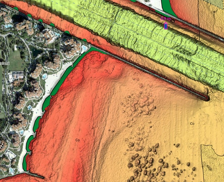
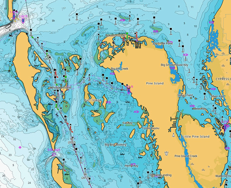
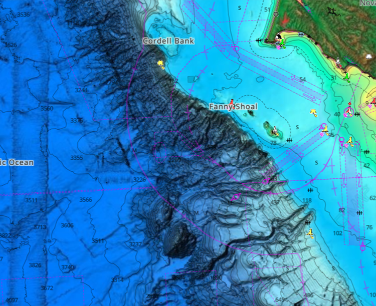
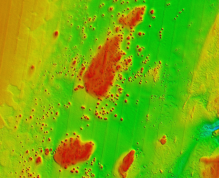
Your charts are integral to your boating, aiding navigation and keeping you safe on the water. There are a variety of options, whether you’re looking for a great beach or a place to drop your line.


Embrace the Simrad® App
Get more from your chartplotter with the free Simrad® App.
The Mobile App revolutionizes the way you interact with your charts, providing access to the latest C-MAP cartography on your phone or tablet. Explore charts featuring high-resolution bathymetry, custom depth shading, satellite overlay, and thousands of Points of Interest such as ramps and fuel points.
And it isn’t just about enhancing your life on-board. The App lets you take your boating home with you, pre-planning your next adventure from the comfort of your couch and syncing the moment you step back on-board.

FAQs
How can I determine which chartplotter or fishfinder is most suitable for my boat and on-water needs?
Simrad Yachting offers various chartplotter and fishfinder options to meet the needs of every type of boat and activity. To identify the best chartplotter or fishfinder for your boat and on-water needs, consider factors such as screen size and resolution, intended use and functions, and the ability to connect and integrate with other devices. The comparison chart above can help you determine which features are most important to you.
Can Simrad® chartplotters/fishfinders connect to other on-board devices?
Yes. The Simrad® marine electronics system serves as the central hub of a boat, smoothly integrating all equipment and functions to provide comprehensive control and monitoring via a single screen. Users can connect a complete suite of Simrad® electronics, including sonar, radar, and autopilot, as well as a range of other integration partners, such as those for engine, audio, digital switching, steering and propulsion, lighting, entertainment, stabilization, and much more.
Are Simrad® chartplotters/fishfinders compatible with various cartography/charting options?
Yes, depending on your device. Several Simrad® chartplotters/fishfinders allow 3rd party charting, running a wide range of charts such as C-MAP, Navionics, C-MOR, Florida Marine Tracks, StrikeLines and more. Be sure to read more about each device to understand the full charting compatibility.
If I’m switching from a different brand over to Simrad®, is it possible to export all my saved waypoints and transfer them onto a Simrad® device?
Yes, there is an easy solution for this – not to worry about transferring/loosing waypoints between different devices. Waypoints can easily be saved as a universal GPX file format which is a common file format for most all chartplotters. With just a few easy steps you can export and import saved waypoints for almost any other device.
Do Simrad® chartplotter/fishfinders include a warranty?
Yes. When you choose a product from Simrad Yachting, you automatically receive comprehensive warranty service for your products for two years after purchase**. Simply register your device through the Simrad® Register page to take full advantage of this coverage.
**Optional extended warranties are also available
Will my chartplotter/fishfinder stay up to date?
Of course. Simrad Yachting provides ongoing software updates to keep your device up to date for years to come. Depending on model, updates are provided using Ethernet, Wi-Fi, SD card transfer, or via the Simrad® Companion App.